TruArc 20 Luminous Compass
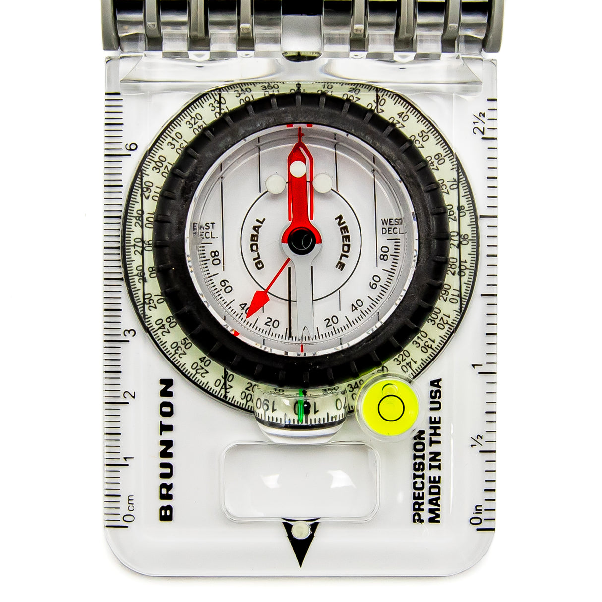
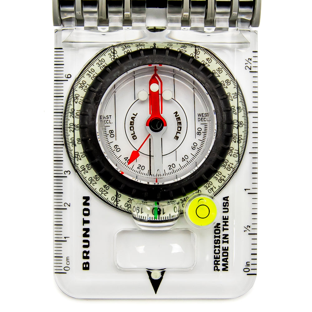
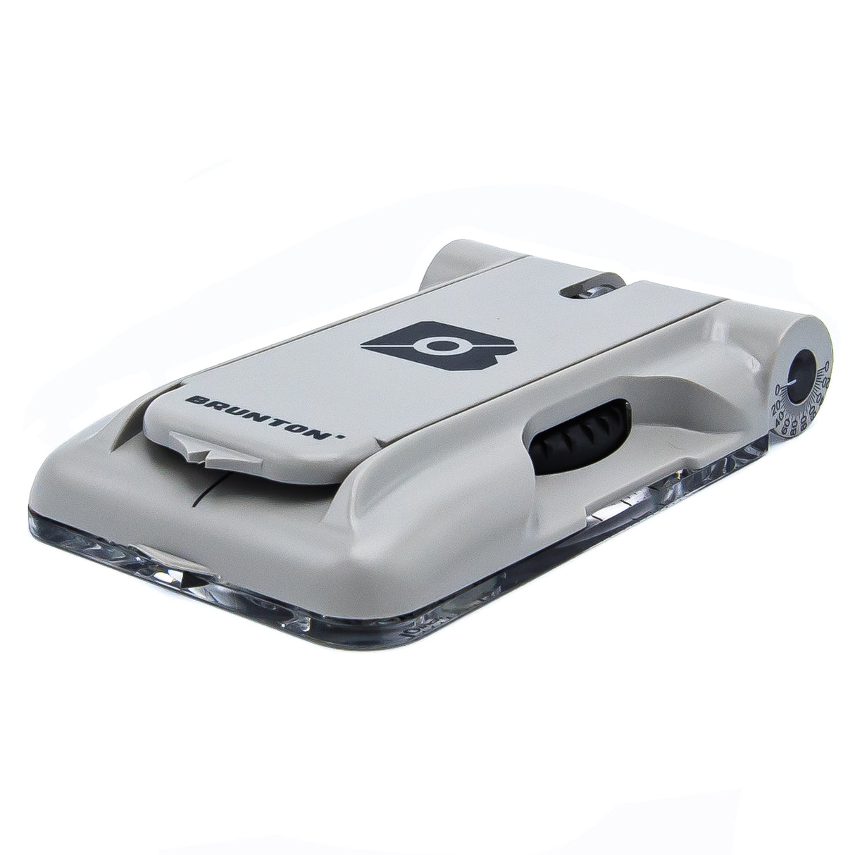
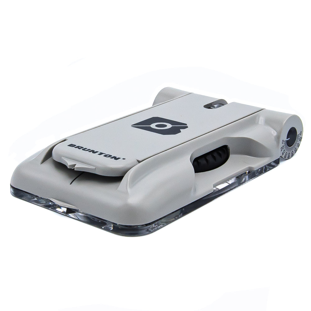
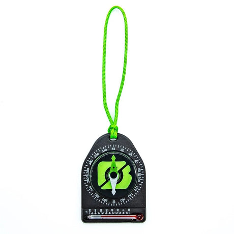
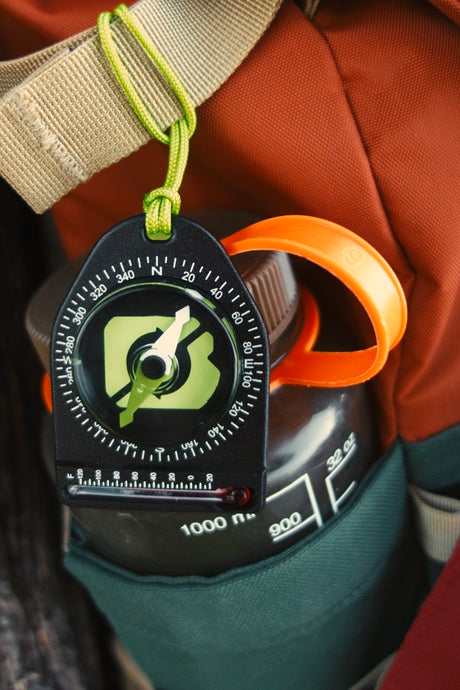
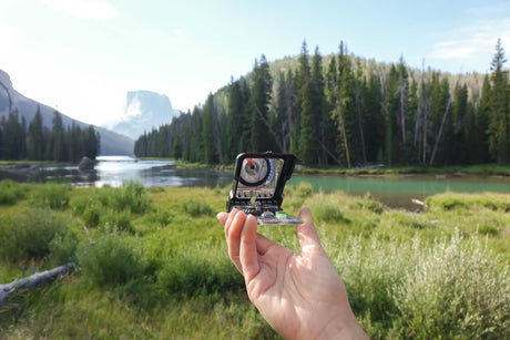
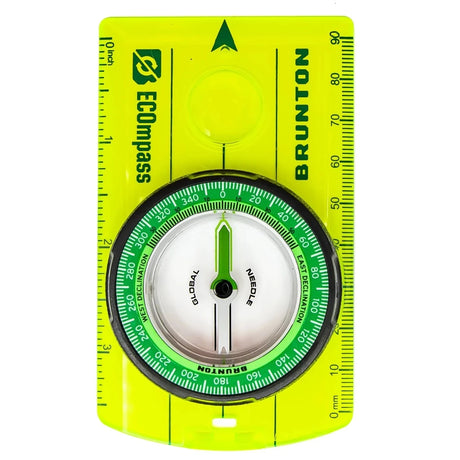
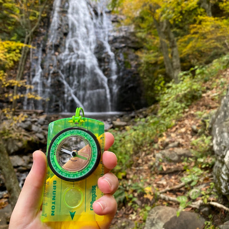
The Brunton TruArc20 Luminous Compass is made in the USA and ready to help you navigate the great outdoors.
TruArc 20 Luminous Compass is backordered and will ship as soon as it is back in stock.
Reasons To Love The TruArc 20 Luminous Compass
Reasons To Love The TruArc 20 Luminous Compass
Our Notes
Navigate the great outdoors with confidence using the Brunton TruArc20 Luminous Compass, a tool designed for reliability and precision in any environment. Whether you’re an avid hiker, a professional explorer, or a casual adventurer, the TruArc20 is your essential guide.
Key Features:
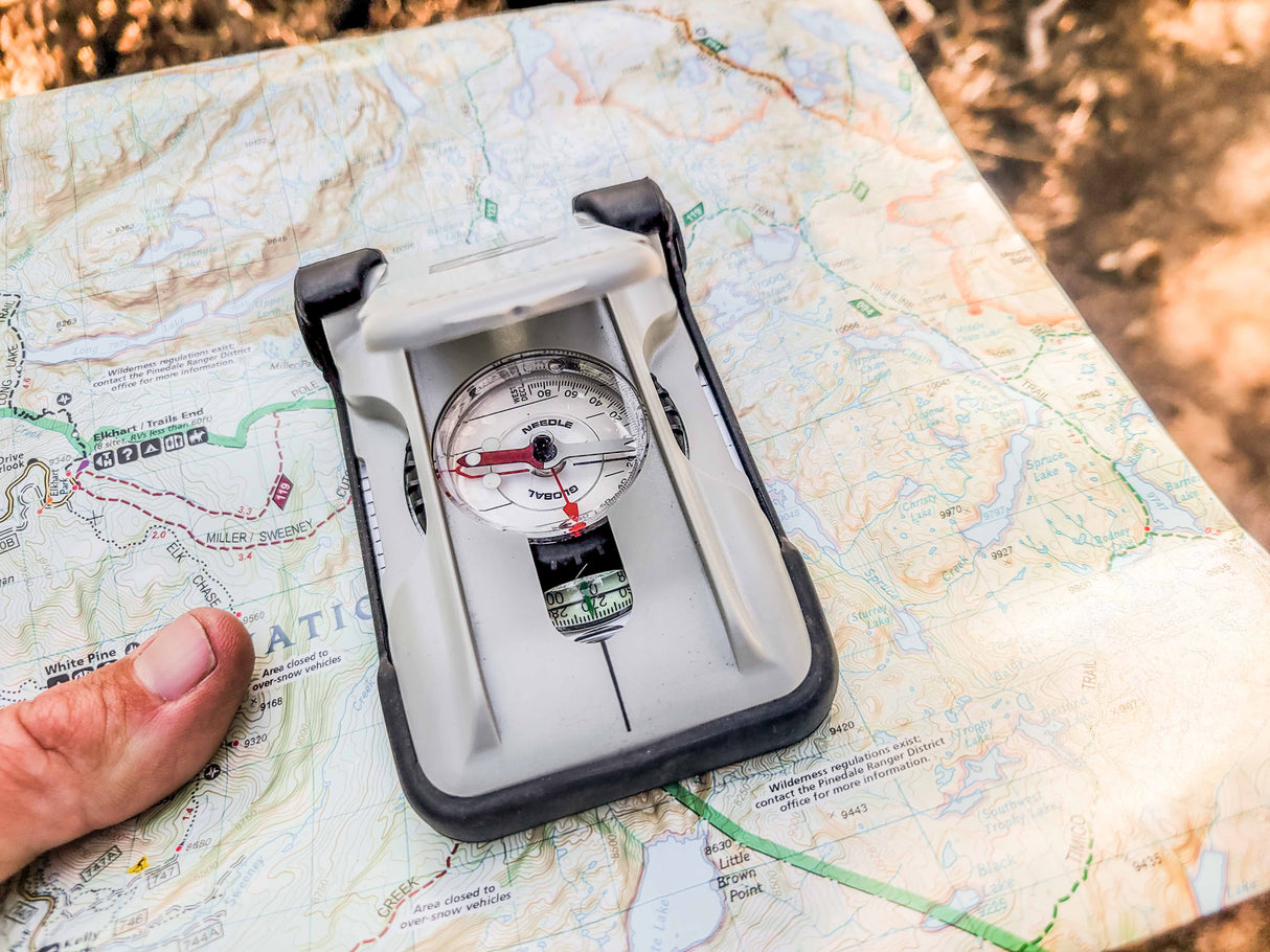
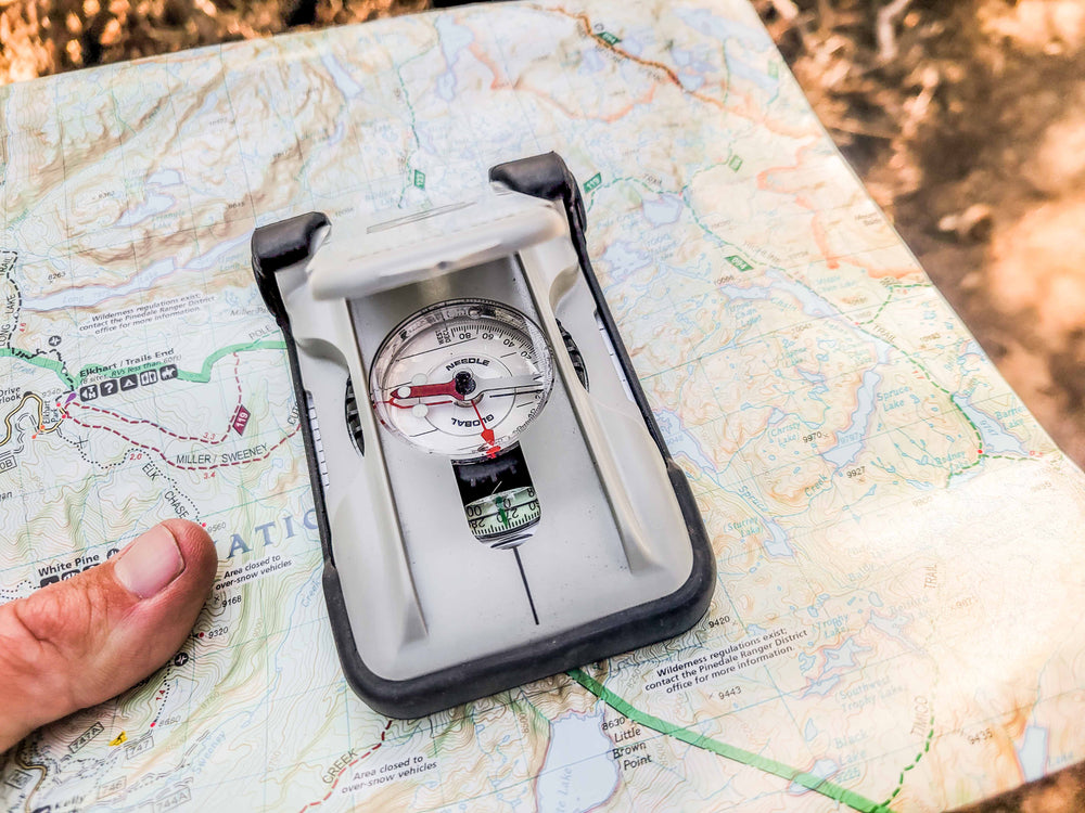
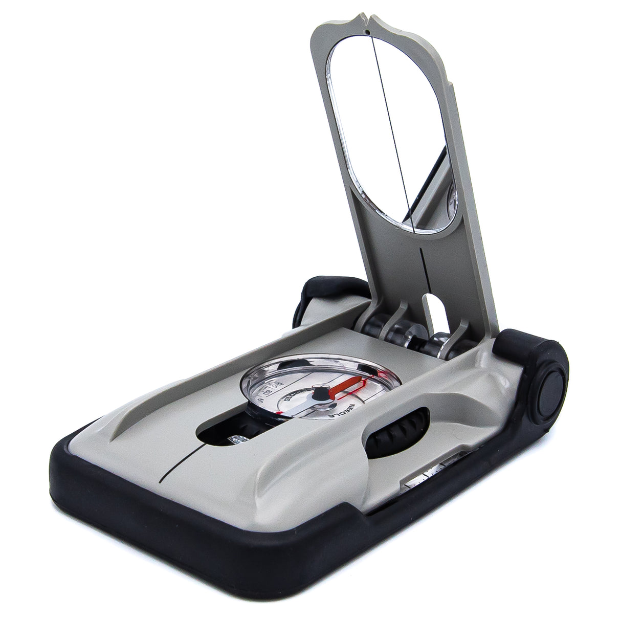
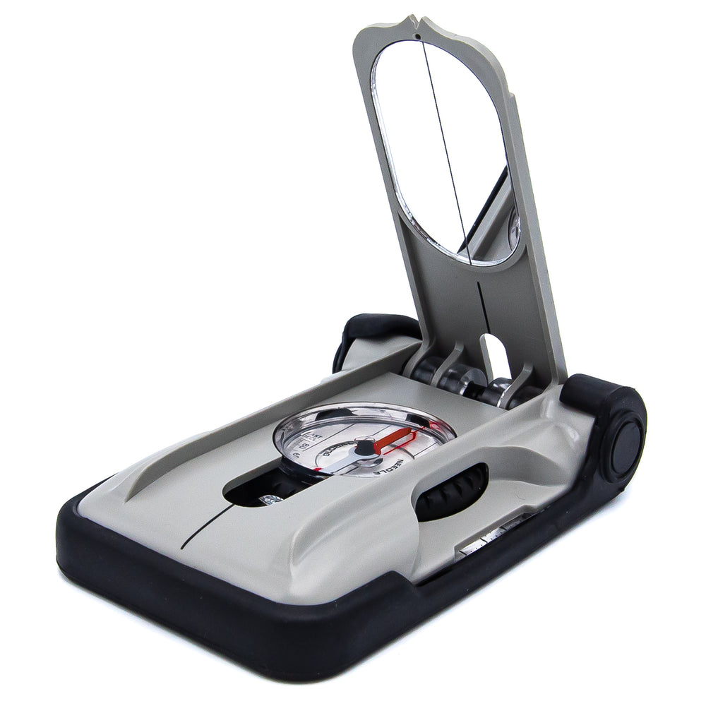
- Reliable Navigation: The TruArc20 boasts Brunton’s TruArc Global Needle system, ensuring accurate readings in both the Northern and Southern Hemispheres. This makes it a trustworthy companion for global adventures.
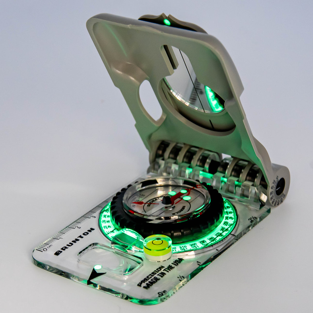
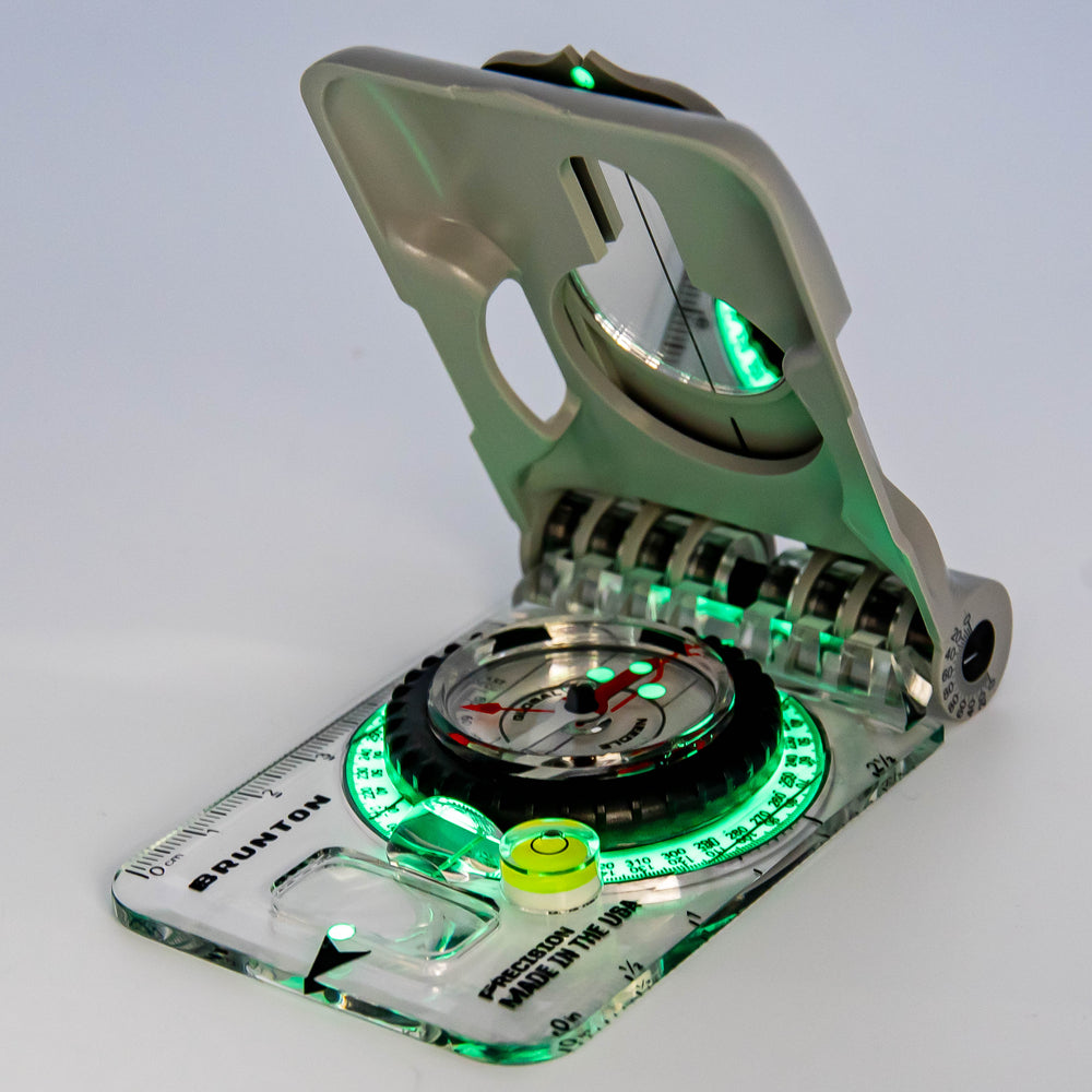
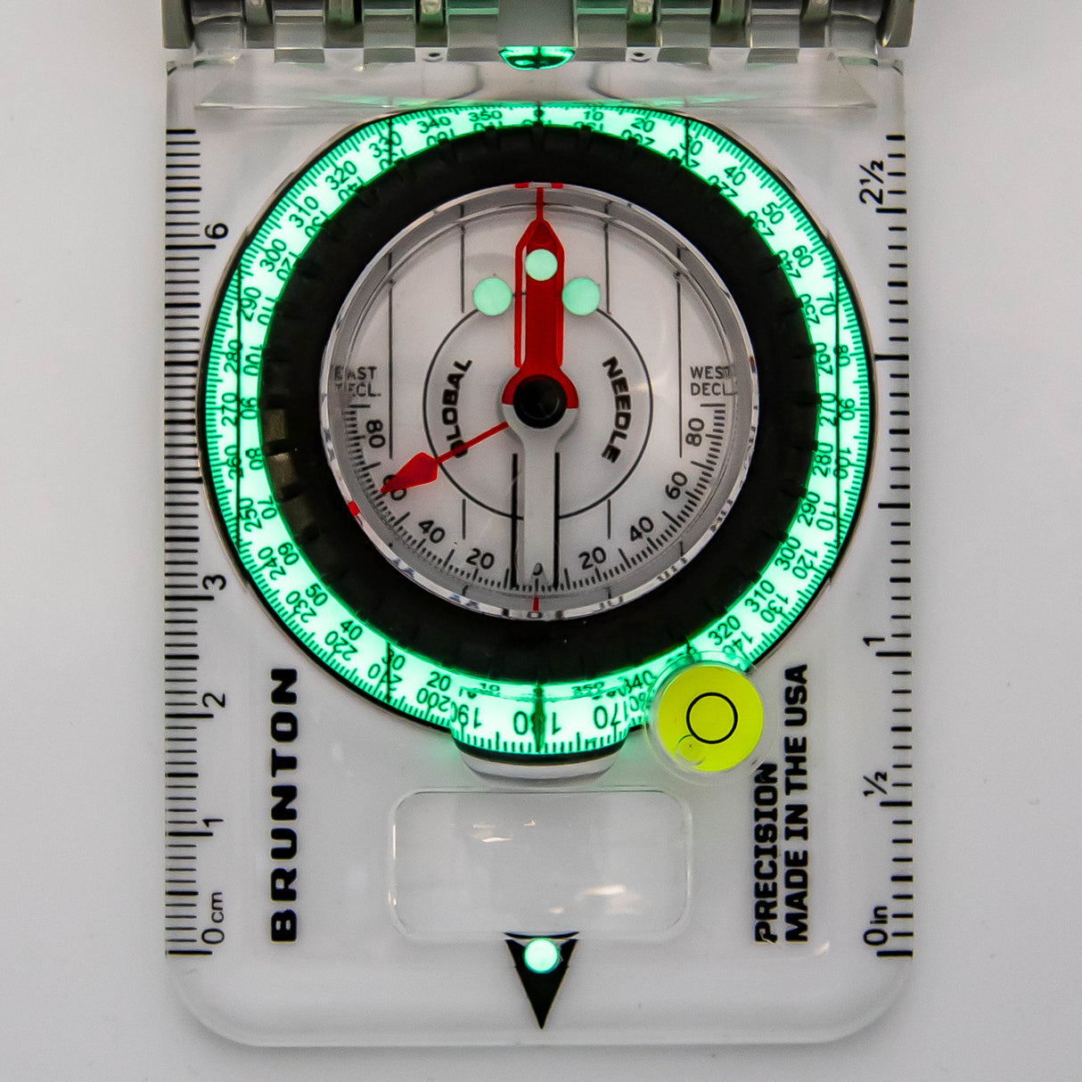
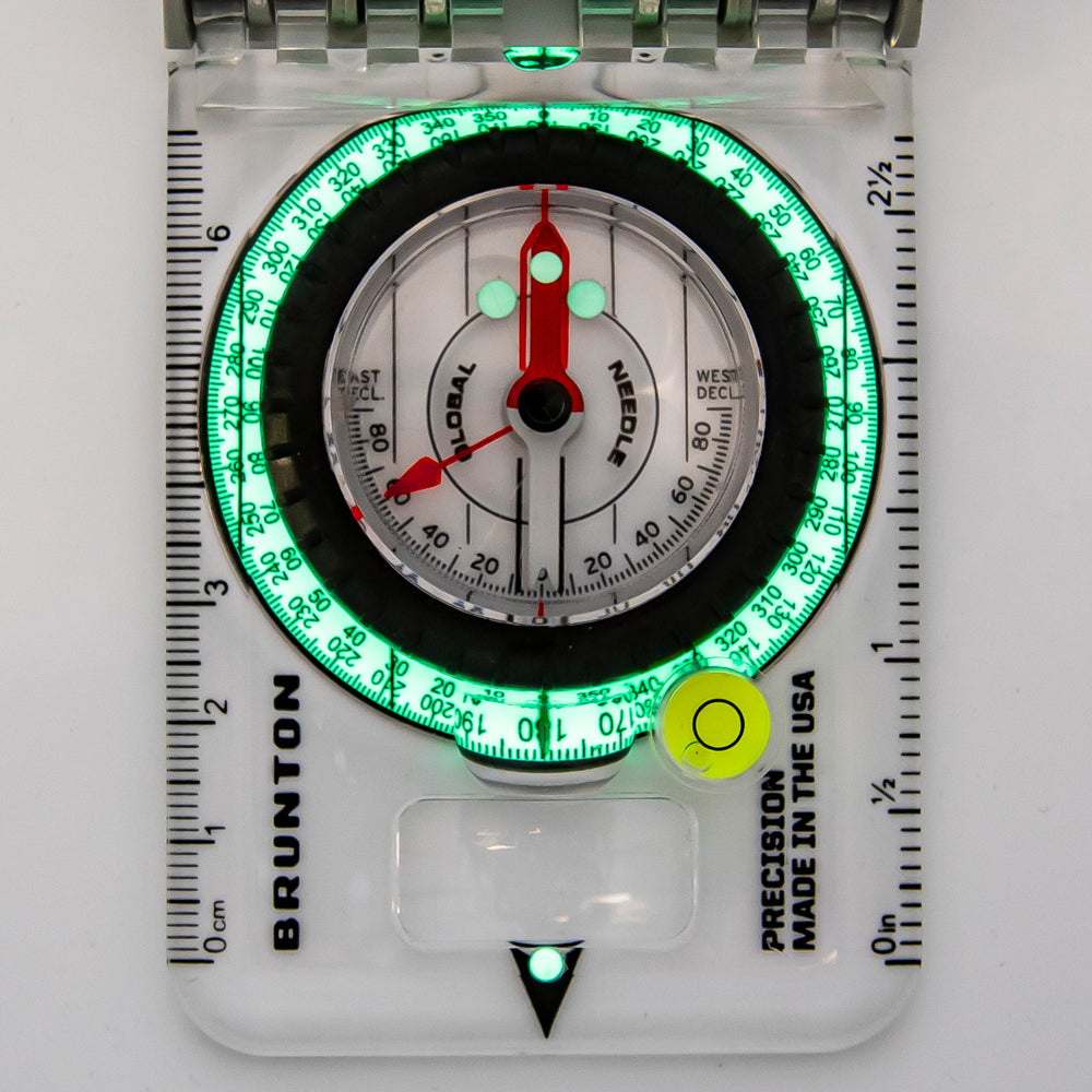
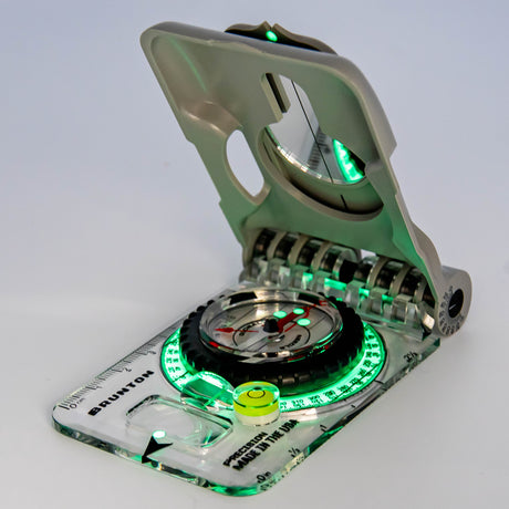
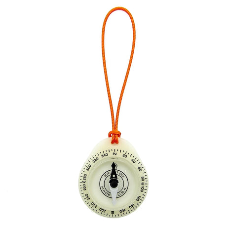
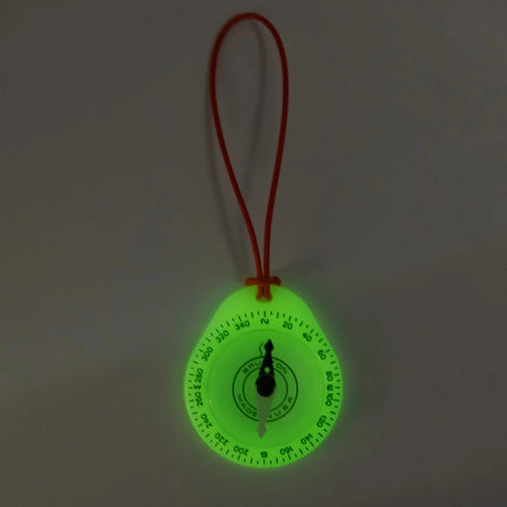
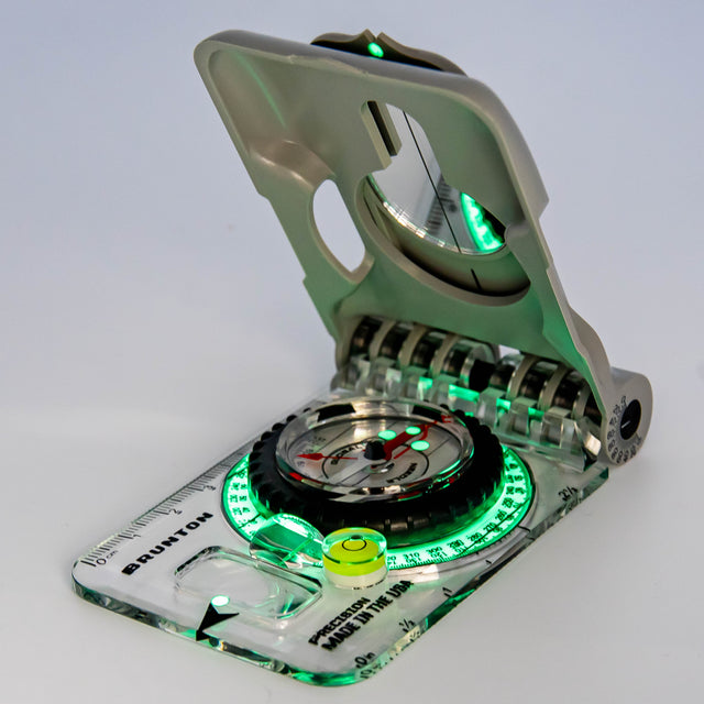
- Luminous Readability: The compass features a luminous design, providing easy readability in low-light conditions. Whether you’re navigating at dawn, dusk, or under dense canopies, the TruArc20 illuminates your path.
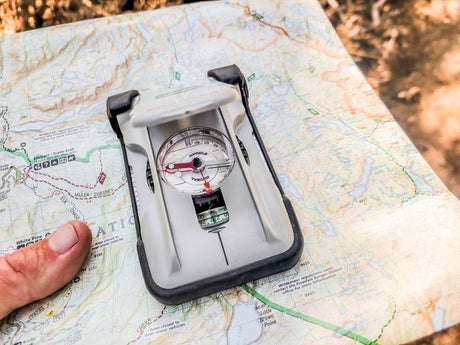
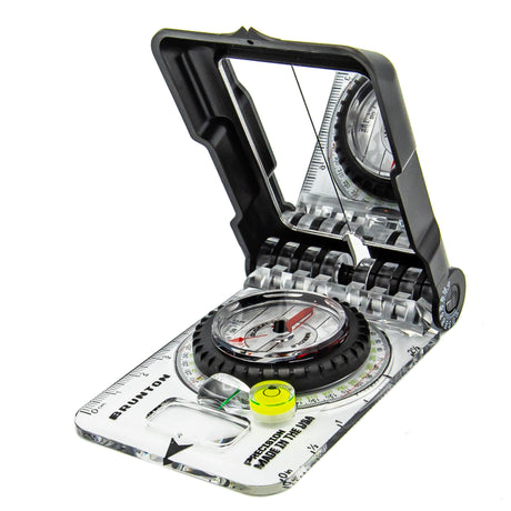
Brunton's most advanced baseplate compass with sighting mirror, quick-reference lid, and protective rubber foot that stores reference cards with an array of scales. Pro features include internal vial inclinometer and lid inclinometer that is ideal for advanced navigation, snow-safety, search & rescue, or scientific field work. Travel a bearing well after dark, the luminous azimuth ring, magnetic needle, direction of travel arrow and sight will glow brightly for up to 8 hours. Made in the USA in Riverton, Wyoming.

